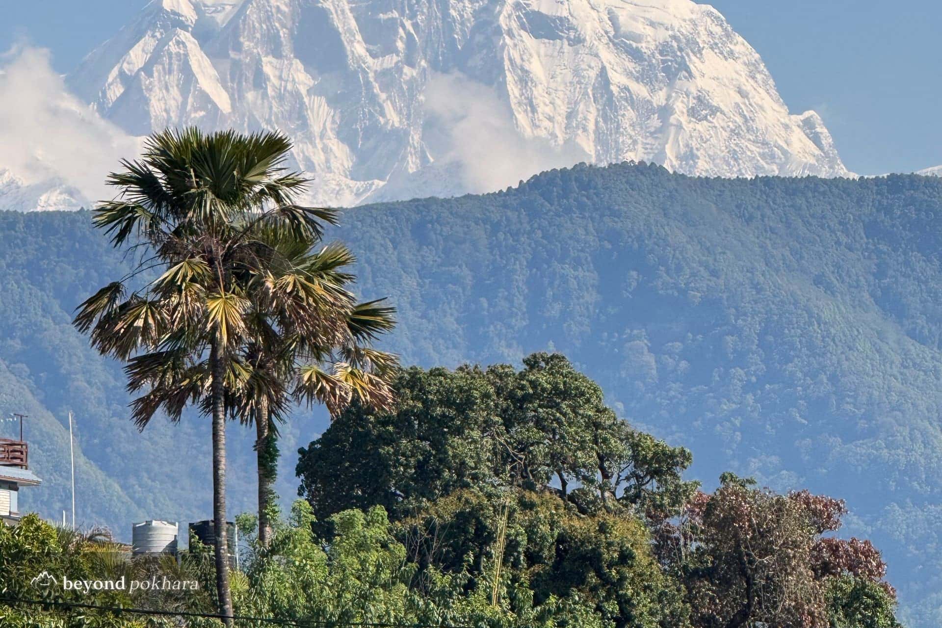
Teahouse trek
Australian Camp and Dhampus Trek
A first taste of the foothills, one easy night out of Pokhara.
Easy2,060 mclearest Oct–Apr
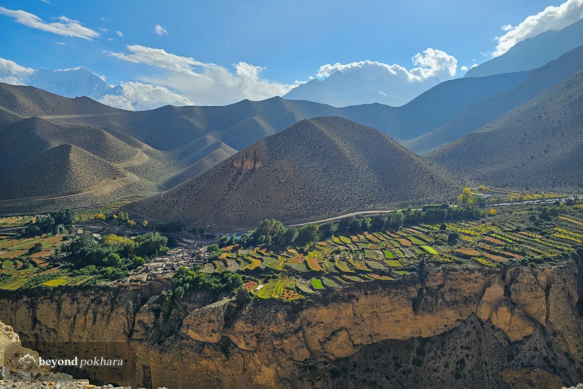
The Annapurna Circuit, with the highest lake in the world.
Tilicho Lake sits at 4,919 m below the north face of the Annapurnas, a vast frozen sheet of turquoise ringed by ice. Adding it to the Circuit is the finest version of this trek for strong walkers.
It is a serious itinerary: real altitude, a committing trail to the lake, and the Thorong La to follow. We pace it carefully and acclimatise properly.
One of several ways to do it. We tailor the days, pace, and stops to you, nothing here is fixed.
The long Circuit-road drive up the Marsyangdi to Chame, where the walking starts.
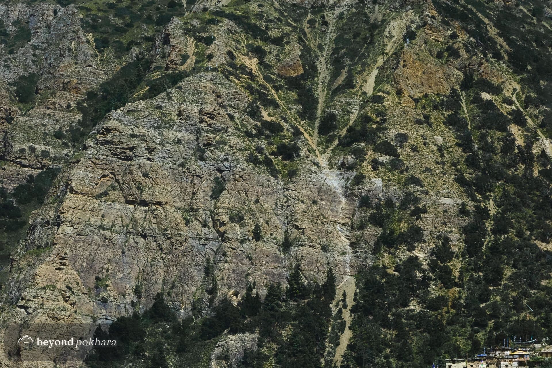
A forest and river trail past the Paungda Danda rock face to the village of Pisang.
The high route over Ghyaru and Ngawal for the long views, down to Manang for the night.
A short acclimatisation day, turning off the Circuit toward Tilicho through the last village, Khangsar.
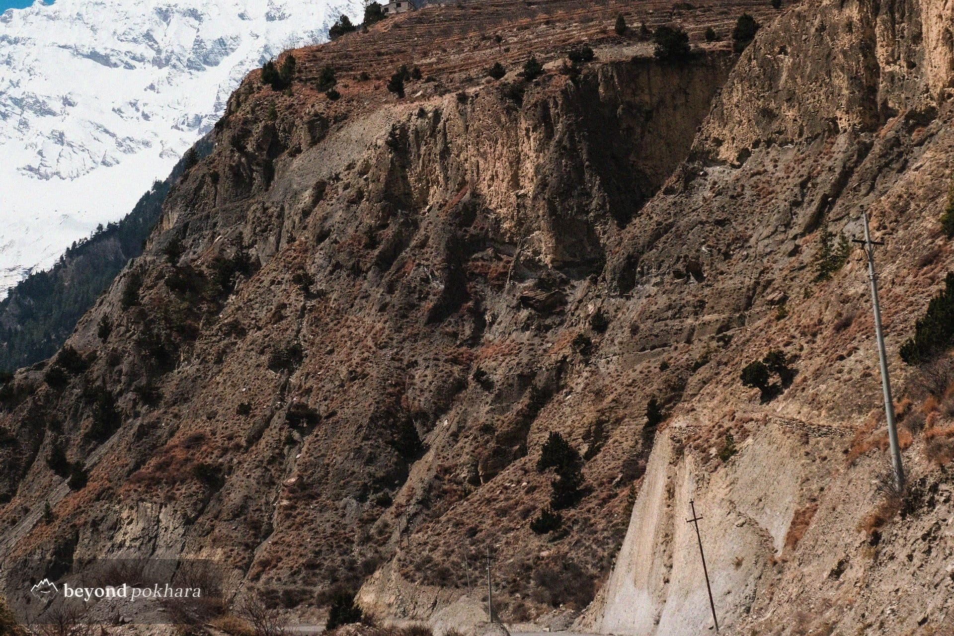
The exposed, committing traverse across landslide scree to the lodges at Tilicho Base Camp.
A long pre-dawn climb to the frozen lake at 4,919 m, then back across the scree to safer ground at Shree Kharka.
Back onto the main trail and up to the yak pastures at Yak Kharka.
A short, steep day to the last lodges below the pass.
The pre-dawn crossing of the Thorong La at 5,416 m, then the long drop to the temple at Muktinath.
Down through the gorge to Jomsom and the drive back to the lake, or a morning flight.
Driven to the Circuit trailhead and collected at Jomsom or Pokhara. The lake and the pass are on foot; the lower valley can be shortened by road.
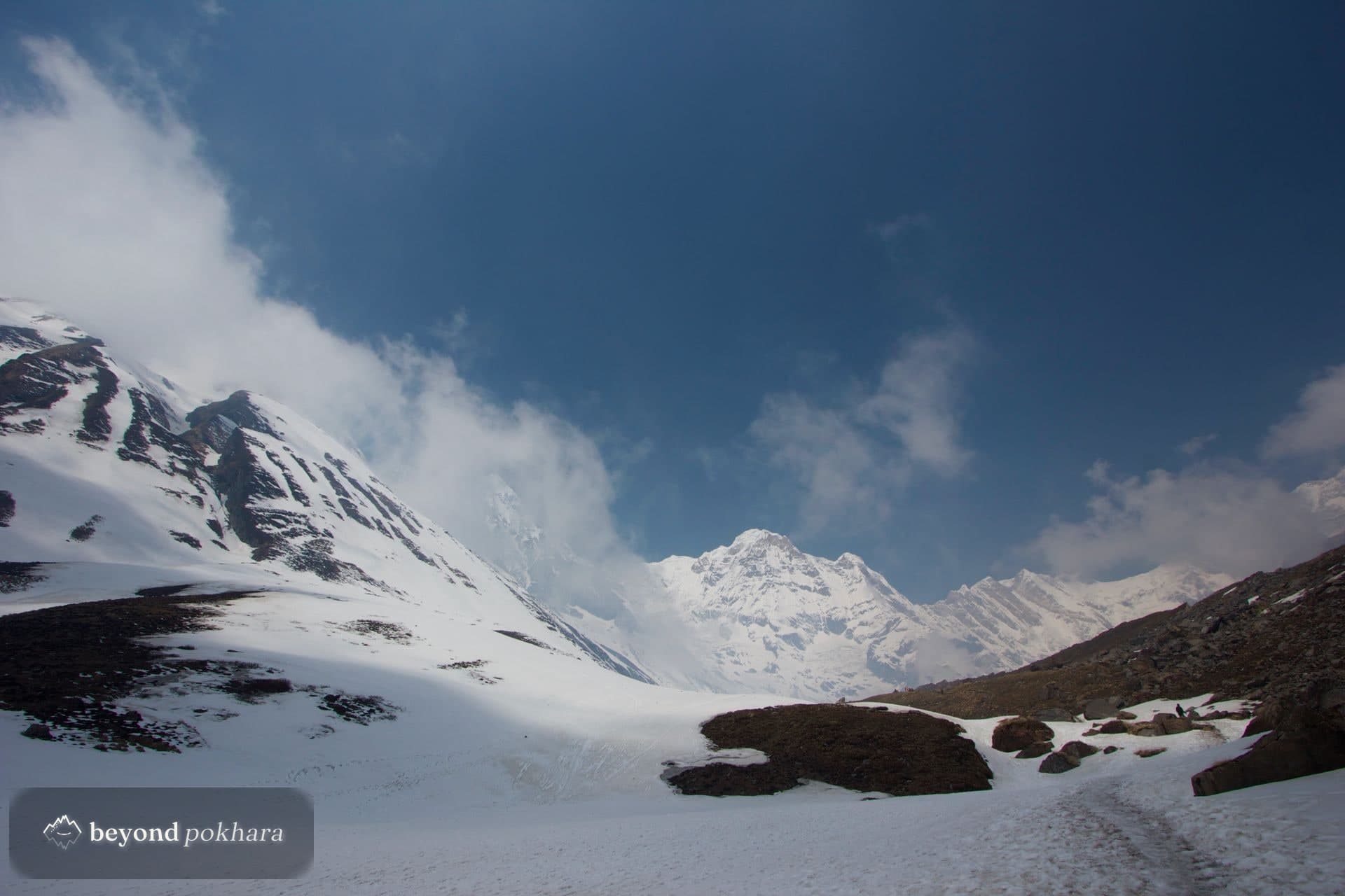
Fit, experienced walkers comfortable with sustained altitude. It is harder than the standard Circuit.
The approach has loose, exposed sections. We go early, when it is most stable, and never push bad weather.
Teahouse trek
A first taste of the foothills, one easy night out of Pokhara.
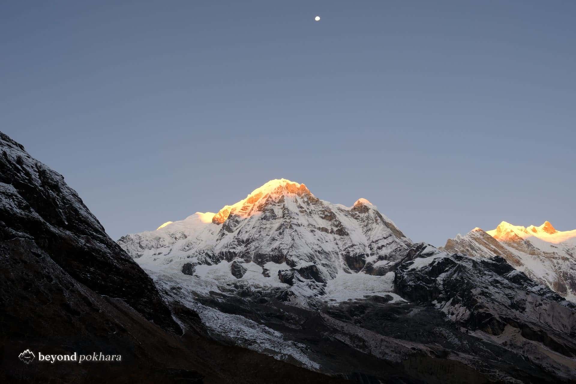
Teahouse trek
The classic short trek, and the most famous sunrise in Nepal.
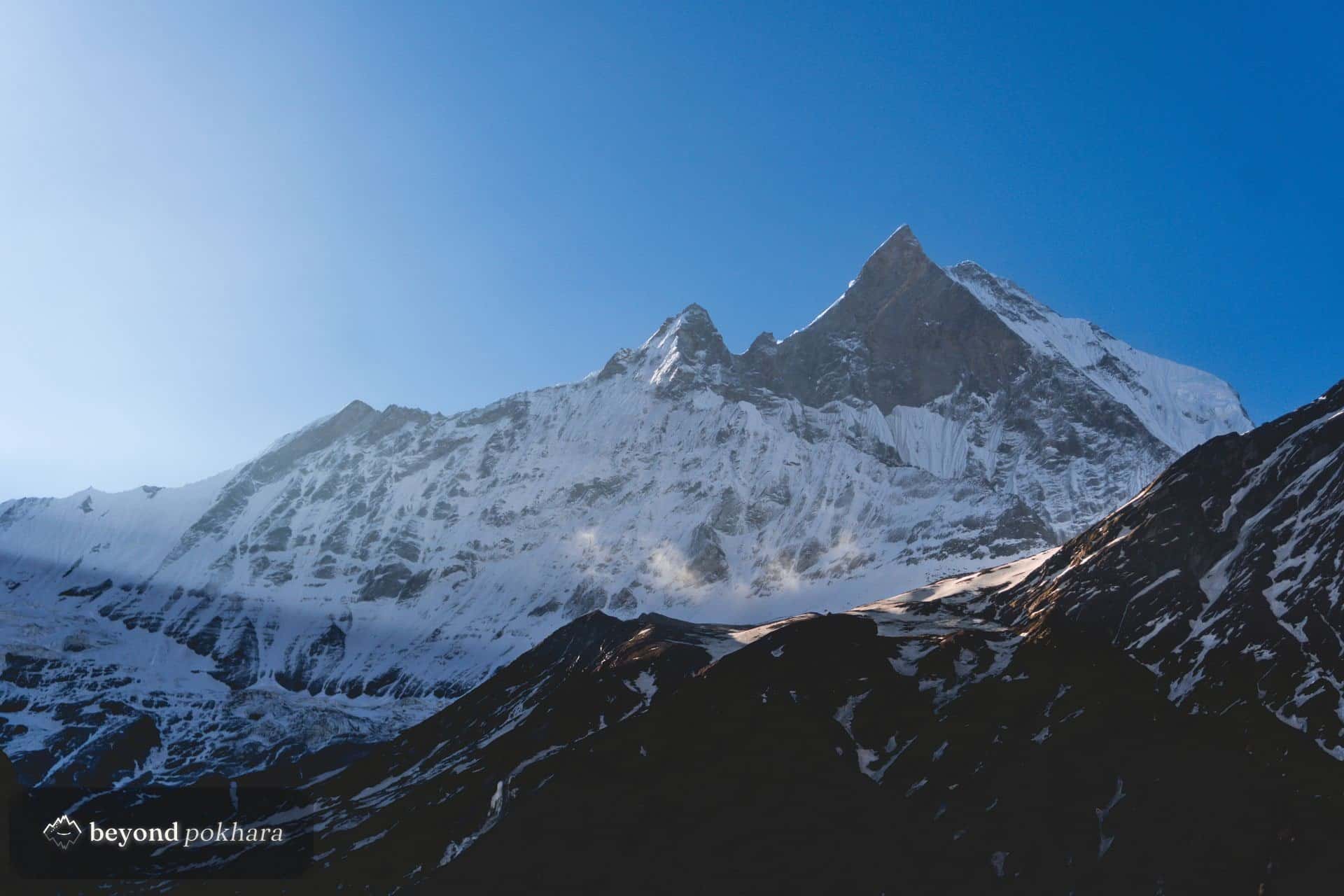
Teahouse trek
A high ridge under Machapuchare, off the main trail.
