Teahouse trek
Australian Camp and Dhampus Trek
A first taste of the foothills, one easy night out of Pokhara.
Easy2,060 mclearest Oct–Apr
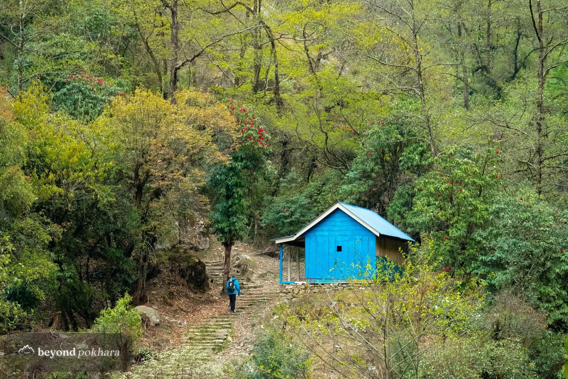
A community-run ridge, the quiet answer to Poon Hill.
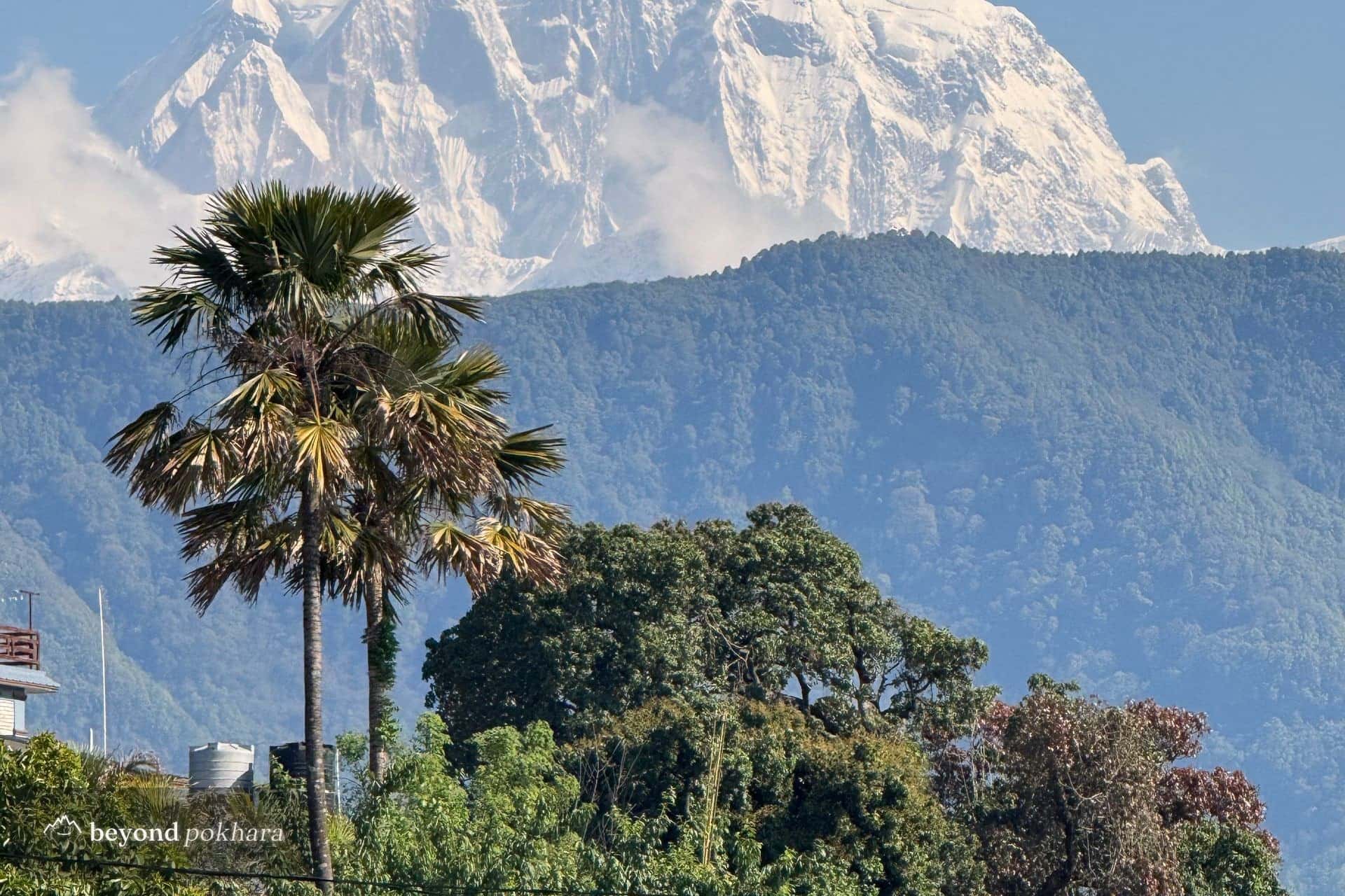
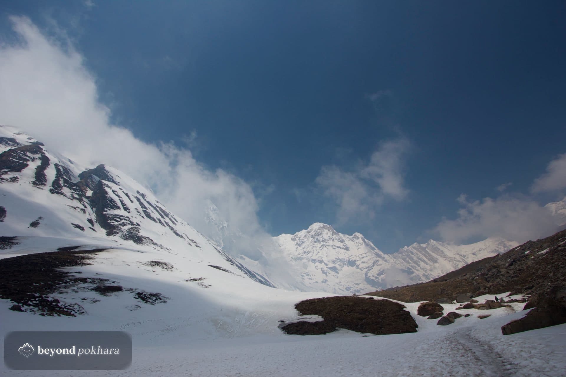
Mohare Danda is the community-owned alternative to Poon Hill: a ridge at 3,300 m with the same sweep of Dhaulagiri and Annapurna, reached on a trail of lodges run and shared by the villages along it. The income stays local, and you walk for days seeing barely another trekker.
It is a rewarding, responsible week in the foothills, with the option to link to Khopra or down via Ghorepani.
One of several ways to do it. We tailor the days, pace, and stops to you, nothing here is fixed.
A drive to the trailhead, then a climb through farmland to the village of Banskharka.
Along the hillside through Gurung and Magar villages to the large community village of Nangi.
A forest climb onto the ridge to the lodges at Mohare Danda, in time for sunset on the range.
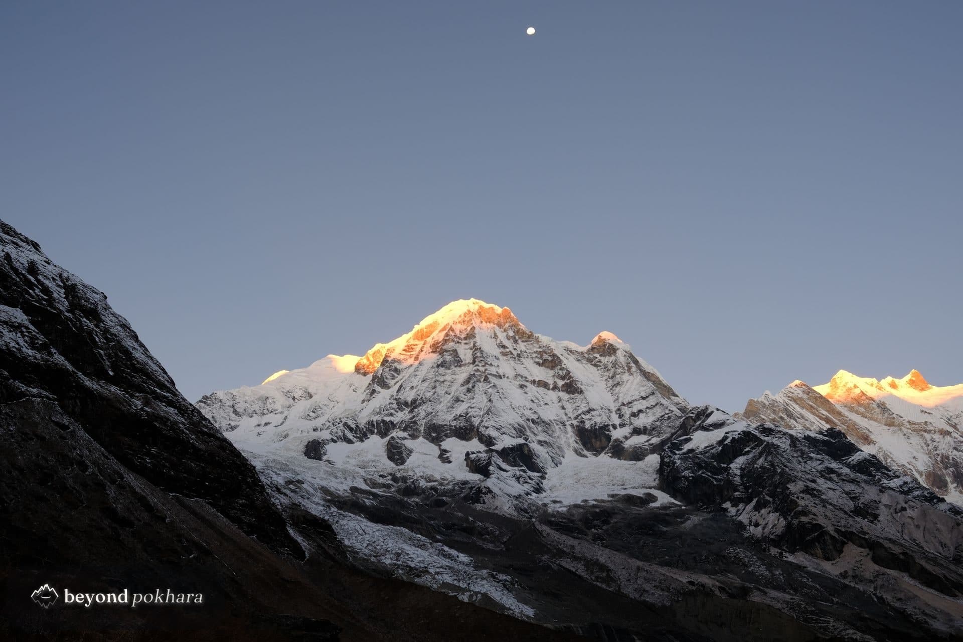
A dawn climb to the viewpoint for Dhaulagiri and Annapurna, then a ridge and forest trail to Danda Kharka.
Down through forest and terraced fields to the traditional Magar village of Tikot.
A final descent to the road, then the drive back to the lake.
Driven from Pokhara to the trailhead near Galeshwor or Beni, then on foot through the community lodges and back to the road, with a guide.
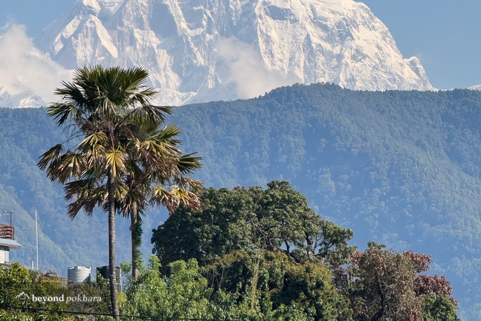
The lodges are owned and run jointly by the villages along the route, so the income supports local schools and health posts rather than outside operators.
Yes, the panorama of Dhaulagiri and the Annapurnas is comparable, and you usually have it to yourself.
Teahouse trek
A first taste of the foothills, one easy night out of Pokhara.
Teahouse trek
The classic short trek, and the most famous sunrise in Nepal.
Teahouse trek
A high ridge under Machapuchare, off the main trail.
