Teahouse trek
Australian Camp and Dhampus Trek
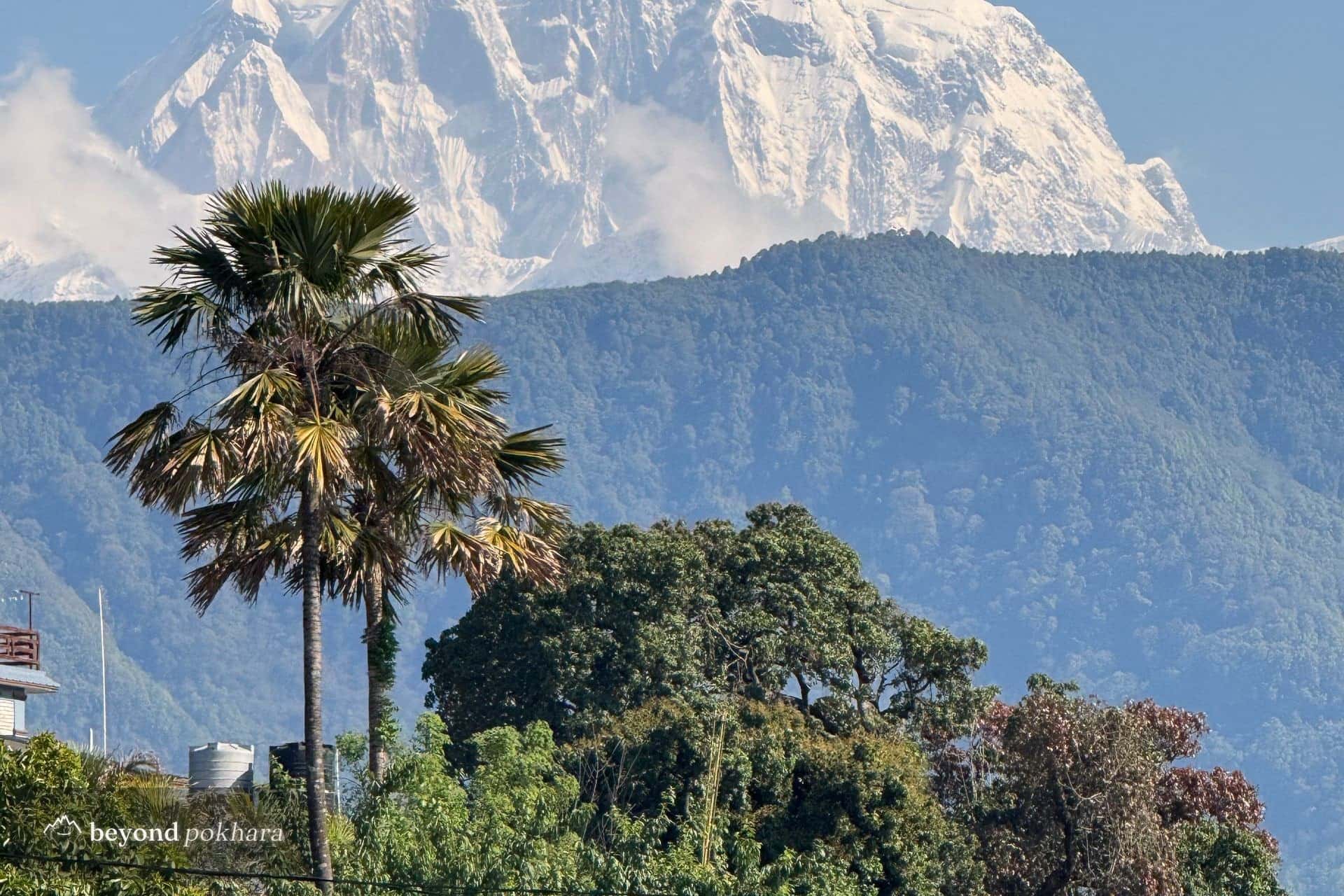
A first taste of the foothills, one easy night out of Pokhara.
Easy2,060 mclearest Oct–Apr
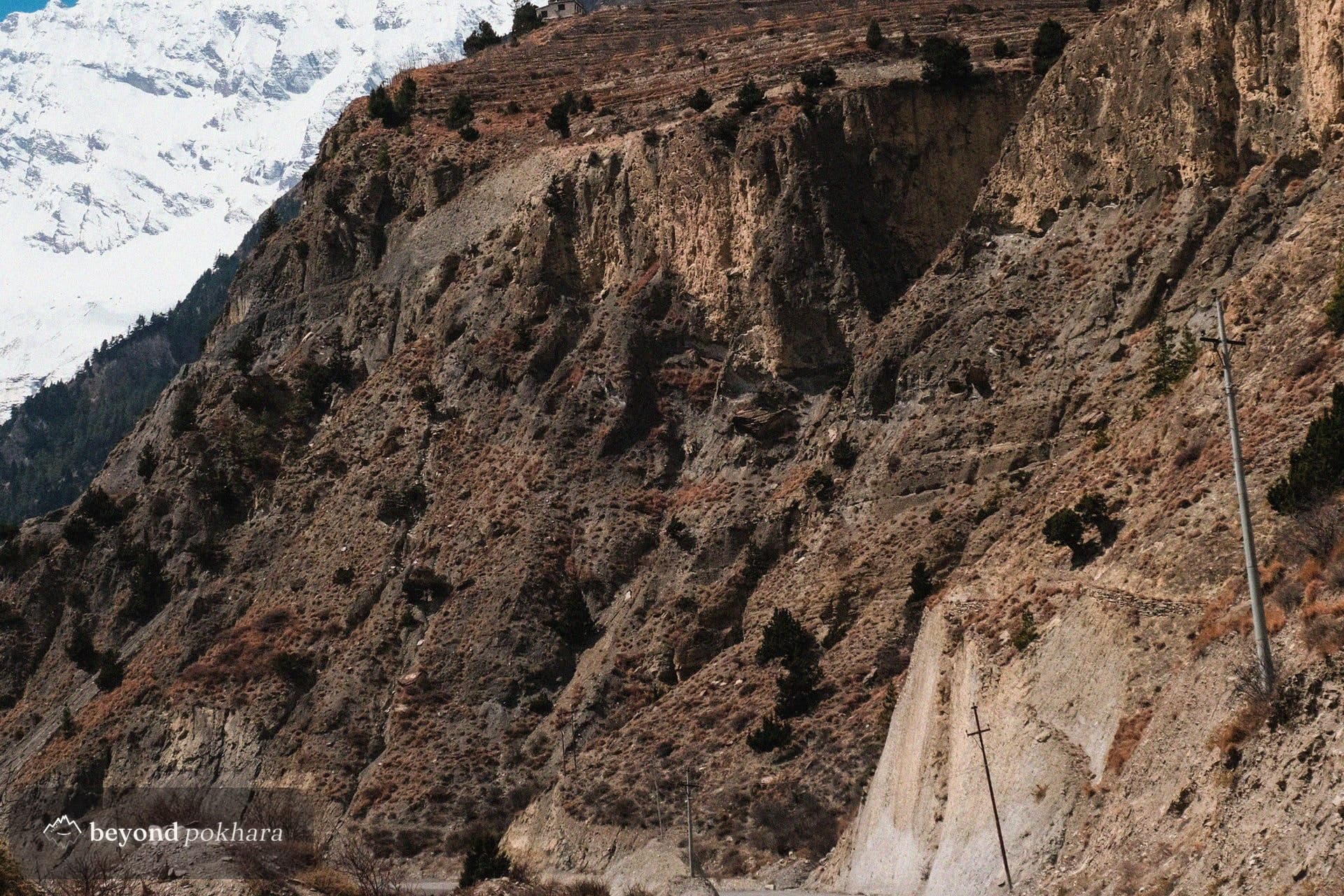
The classic loop, over the Thorong La at 5,416 m.
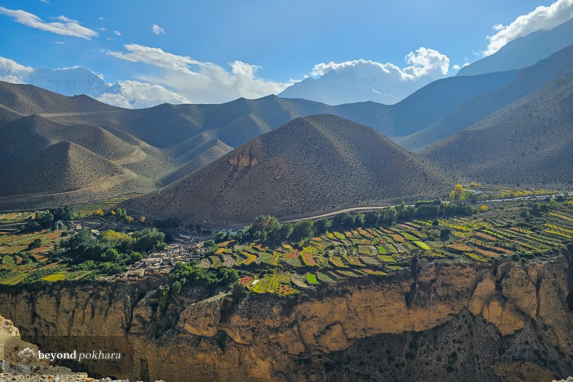
The Annapurna Circuit is one of the world's great treks: a long arc around the whole massif, through changing country from green river valleys to the high desert beyond the range, crossing the Thorong La at 5,416 m.
Road building has shortened the classic route, and we plan it to keep you on the best trail and away from the dust, with proper time to acclimatise at Manang.
One of several ways to do it. We tailor the days, pace, and stops to you, nothing here is fixed.
A long drive up the Marsyangdi valley on the Circuit road to the district town of Chame, where the trek begins.
On foot now, climbing past the great curved rock face of Paungda Danda to the old village of Upper Pisang.
The high route over Ghyaru and Ngawal for the best views of Annapurna II and III, dropping to Manang for the night.
A rest day at altitude with a short climb to Ice Lake or the Gangapurna viewpoint to help the body adjust.
A gentle climb above the treeline into yak pasture, keeping the pace slow for the altitude.
A short, steep day to the last lodges below the pass, resting early for the dawn crossing.
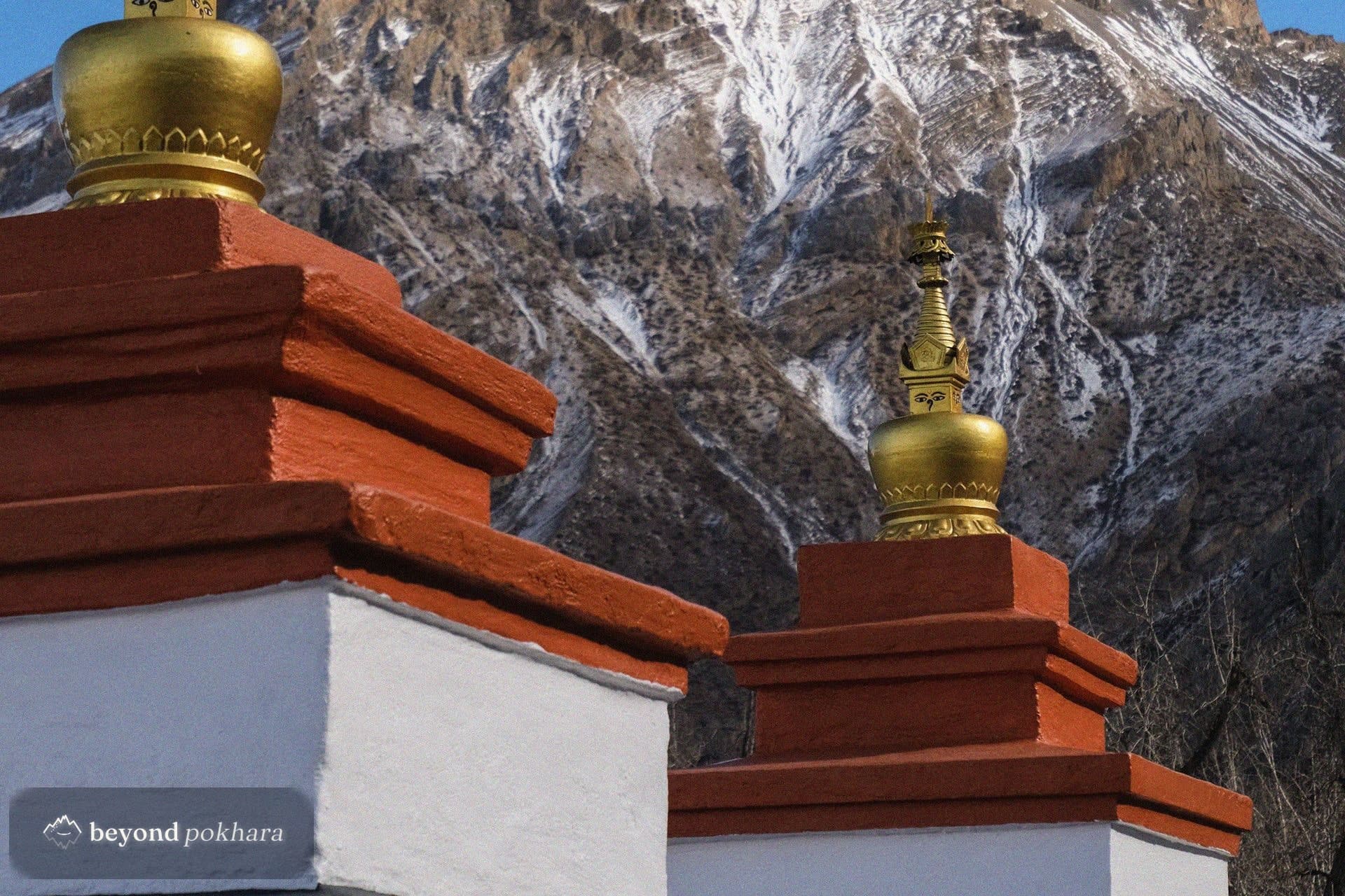
A pre-dawn start for the long climb over the Thorong La at 5,416 m, then a knee-testing descent to the temple at Muktinath.
Down through Kagbeni into the Kali Gandaki gorge, with the wind picking up by afternoon at Jomsom.
The drive back down the gorge to the lake, or a short scenic flight from Jomsom if you prefer.
We drive you to the trailhead at Besisahar or Chame and collect you at Jomsom or Pokhara at the end. The high crossing is on foot; lower sections can be shortened by road if you prefer.
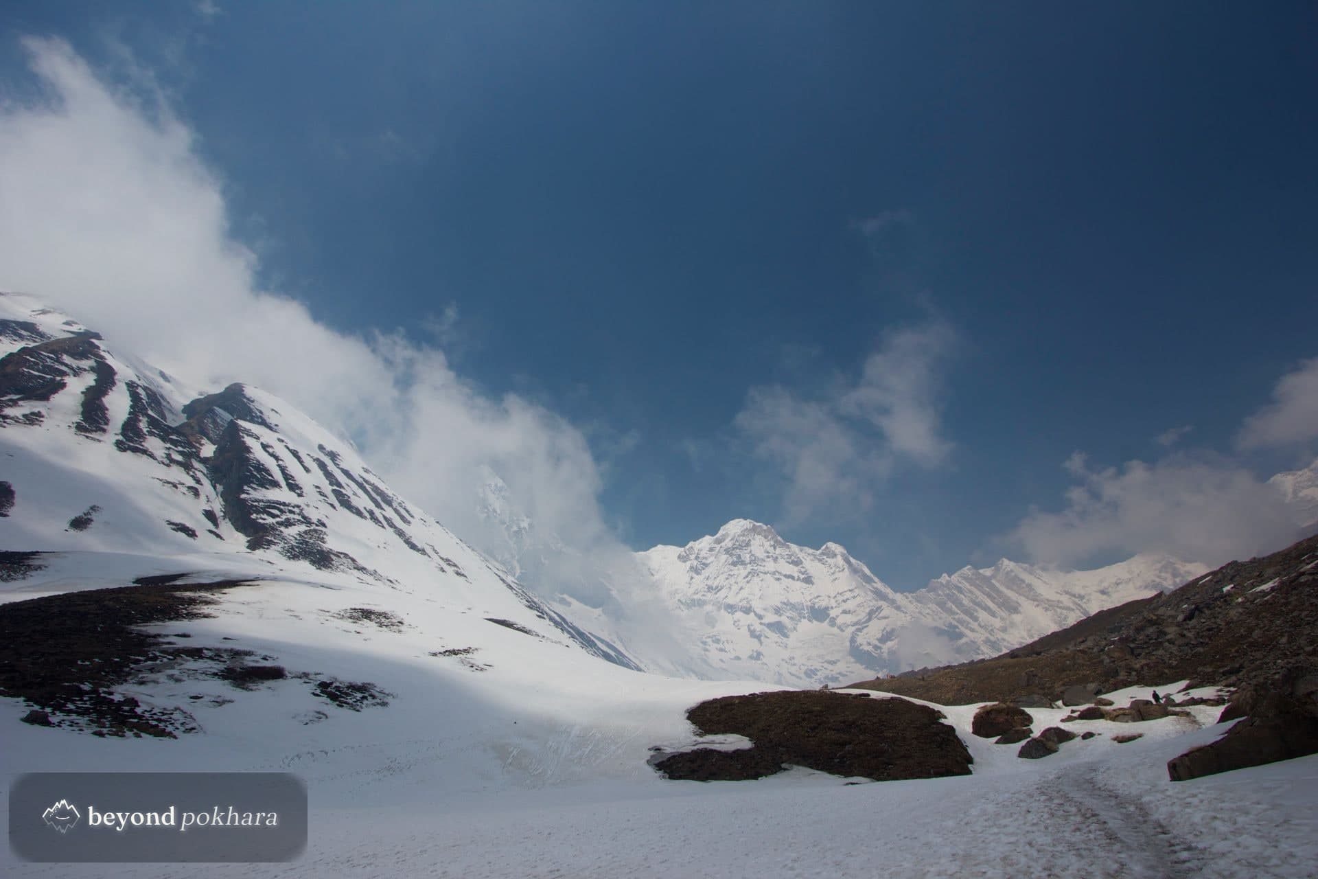
It is a long, high day, not technical. The risk is altitude, which the acclimatisation days at Manang are built to manage.
Yes. Road sections at the start and end can cut days while keeping the high crossing on foot.
Teahouse trek
A first taste of the foothills, one easy night out of Pokhara.
Teahouse trek
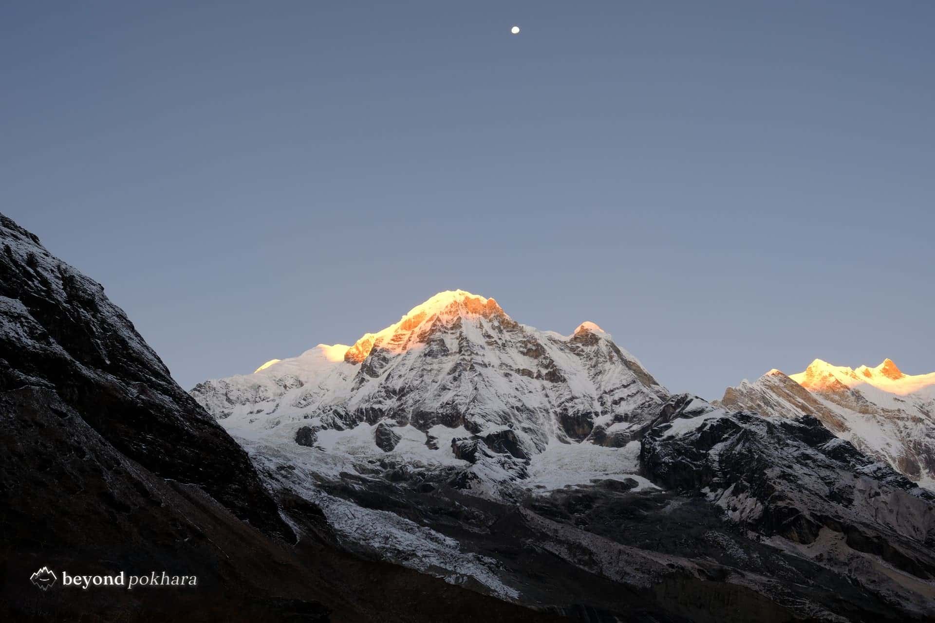
The classic short trek, and the most famous sunrise in Nepal.
Teahouse trek
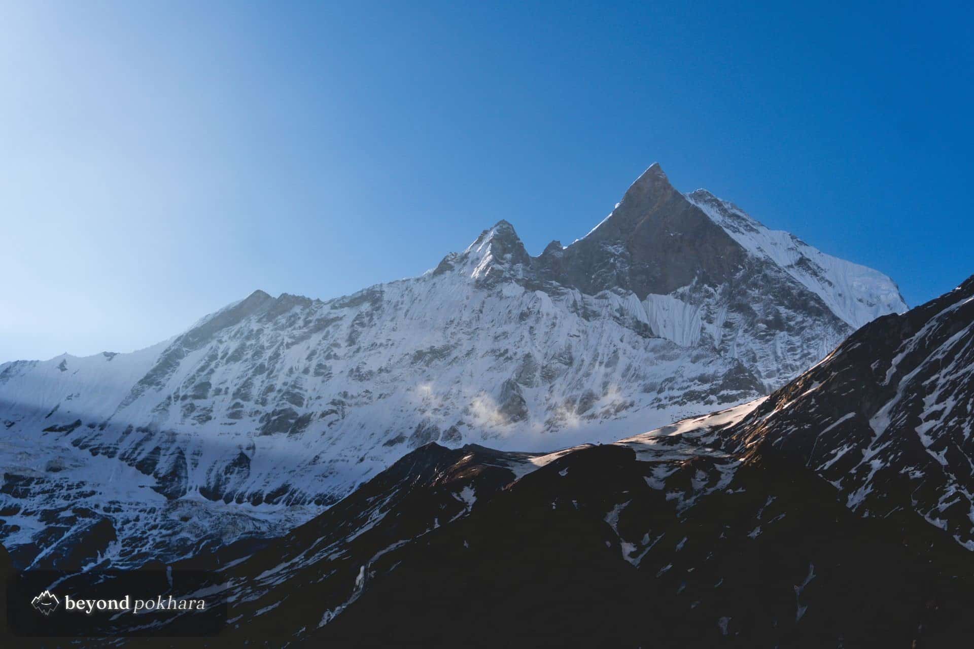
A high ridge under Machapuchare, off the main trail.
